2021 Saildrone Hurricane wing-3853

Saildrones Track Hurricanes to Gather Data for Forecast Improvement

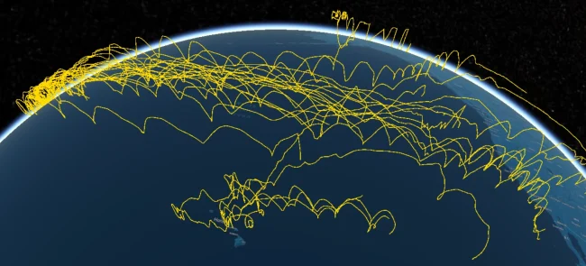
In partnership with NOAA, Saildrone Inc. is deploying seven ocean drones to collect data from hurricanes during the 2022 hurricane season with the goal of improving hurricane forecasting.  For the first year, two saildrones will track hurricanes in the Gulf of Mexico. One of the biggest challenges to hurricane forecasting is predicting rapid intensification, when hurricane…

VORTEX Satellite

VORTEX-USA Awards

WPO works in coordination with the National Severe Storms Laboratory (NSSL) in Norman, Oklahoma to award projects that ​​explore and refine novel predictors of tornadoes, and to improve the communication of tornado forecasts and risk to tornadoes in the U.S. This year competition award total* for the 4 selected projects equals $1.36 M in grants.…

Taken from the Hazardous Weather Testbed at the National Weather Center in Norman, OK. Photo Credit: NOAA NSSL

Weather Testbed Awards

Testbeds are unique collaborative spaces that allow researchers and forecasters to work together to improve weather prediction systems. They accomplish this by working alongside each other to integrate new observing systems into models, test and streamline data assimilation methods, test weather model improvements, and strategize new developments. The Weather Program Office funds research projects and…

Tornado touching down

NOAA Awards $5.7 Million to Improve Hazardous Weather Forecasts

Research to focus on improved prediction of tornadoes, hurricanes, floods, snow NOAA Administrator Kathryn Sullivan announced today $5.7 million in cooperative research agreements and grants to improve the forecasting of hazardous and extreme weather including tornadoes, hurricanes, heavy rainfall, floods and snowstorms. The funding, provided by NOAA Research, will support collaborative work between NOAA and 27…

NOAA’s Investments in Weather Models and Partnerships Paying Off

As the Northeast digs out from this week’s blizzard, a new NOAA-led effort to improve the forecasting of such high impact weather events is reaching an important early benchmark. One of the first major improvements – upgrading the resolution of three global forecast models — has already shown its effectiveness. One of these models, the newly upgraded Global Forecast System (GFS) model, provided one of the most precise forecasts of the track, intensity, precipitation, and distribution of the Nor’easter.