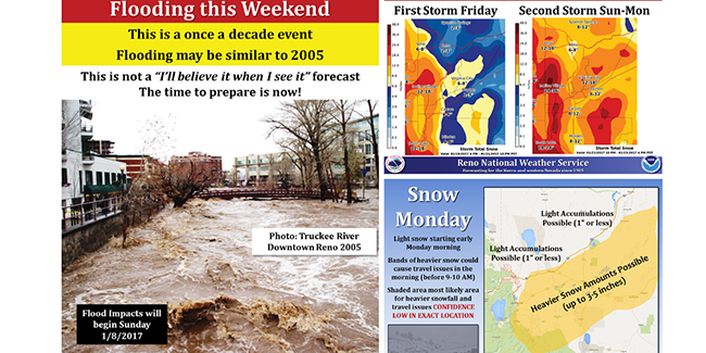
Every community of stakeholders has its “go/no go” action thresholds, and identifying these risk thresholds and incorporating them into forecast visualizations is critical for maximizing the utility of probabilistic hazard information (PHI) for Impact-Based Decision Support Services (IDSS). Therefore, this research project aims to survey various National Weather Service (NWS) Western Region core partners and members of the public to identify risk thresholds in these communities and test visualizations to improve PHI communication and IDSS. The project outcomes include a best practices guide, adaptable graphical templates for communicating PHI, and educational videos to enhance probabilistic communication between NWS and its various stakeholders.


