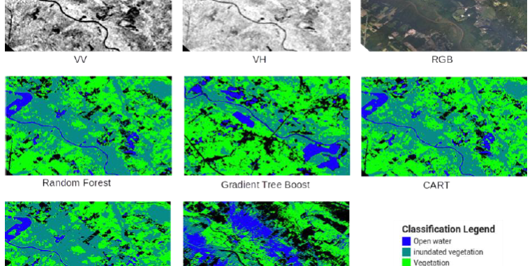
By fusing high spatial resolution data from optical and Synthetic Aperture Radar (SAR) sensors obtained from both satellite and Unmanned Aerial Vehicles (UAVs) remote sensing, this project aims to develop an innovative methodology based on machine learning techniques for rapid delineation of flood boundary and water depth measurements. These measurements will provide floodplain topography data for efficient flood forecasting and decision management in support of NOAA collaborators from the National Weather Service (NWS), National Water Center (NWC), the Southeast River Forecast Center (SERFC), and the North Carolina Department of Public Safety, Division of Emergency Management (NCEM).


