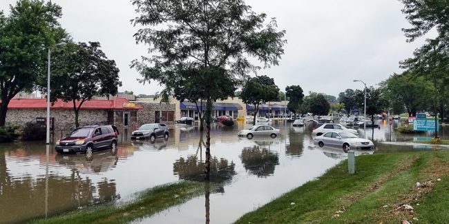
Flood inundation maps (FIM) are a common visual way to communicate flood risk, but there is little research on such products. This mixed-methods research project will use focus groups and surveys to explore how FIM products support flooding decision-making among professional users and the general public to improve FIM product delivery and design.


